
(Tenasserim)
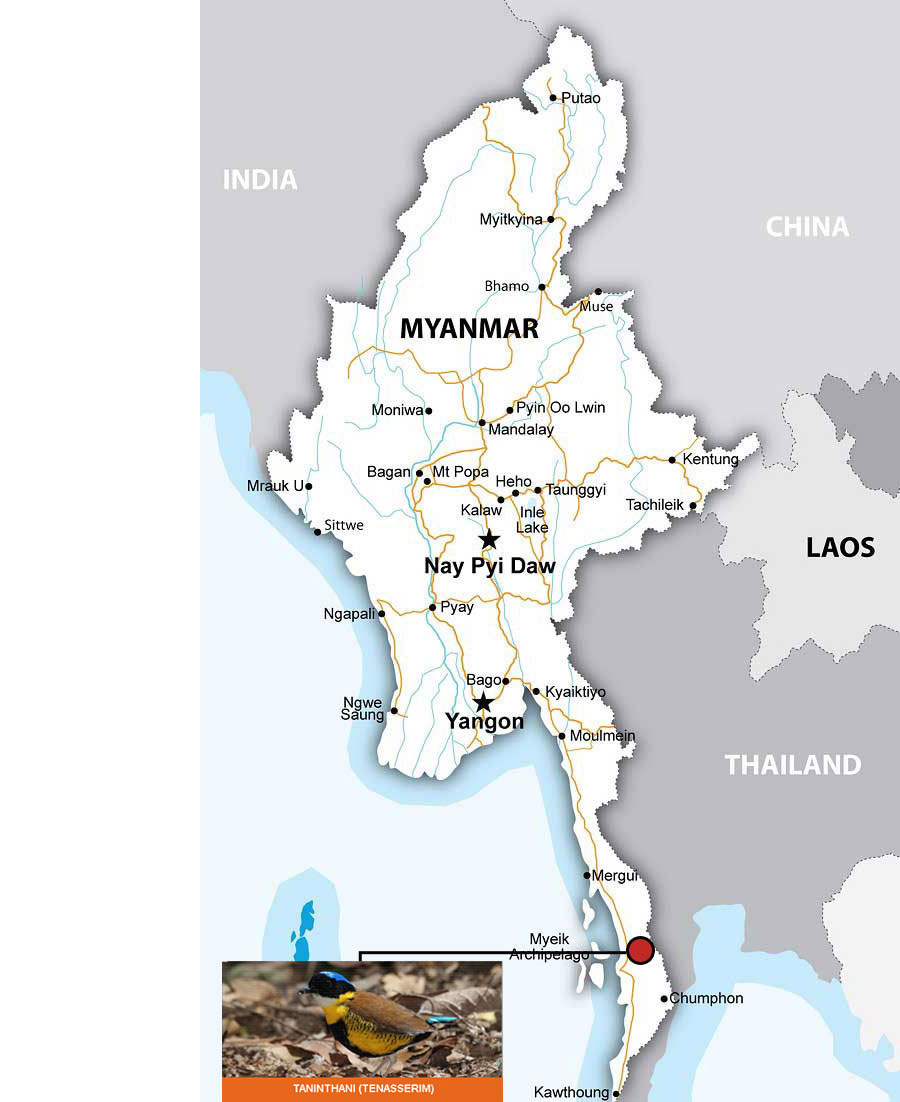
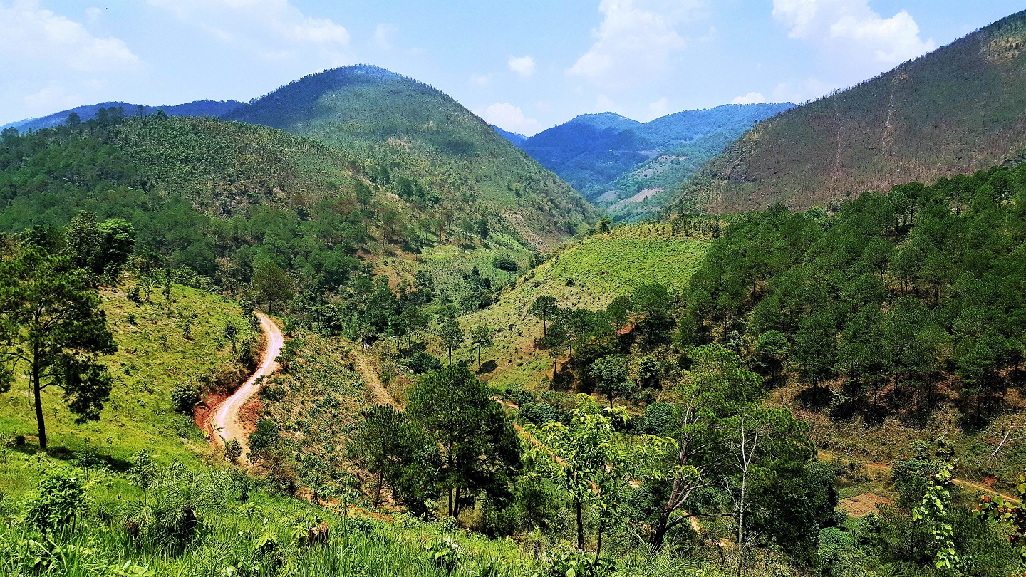
Myeik, formerly Mergui, is in lower Myanmar. It is situated in Tanintharyi Region of southern part of Myanmar, covering the long narrow southern part of the country on the Kra Isthmus. It borders the Andaman Sea to the west and the Tenasserim Hills, beyond which lies Thailand, to the East. To the North is the Mon State. There are many islands off the coast, the large Mergui Archipelago in the southern and central coastal areas and the smaller Moscos Islands off the northern shores, located in the extreme south of the country on the coast of an island on the Andaman Sea. It has a seaport. It is a small town but it is a very important town in Myanmar. It is also the coastal capital of Coastal Command. The town is close to the sea, so the weather is neither too hot nor too cold. The area of Myeik is 7783 square miles.
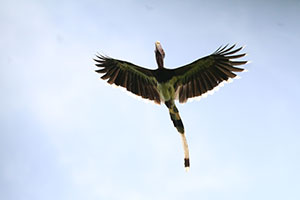
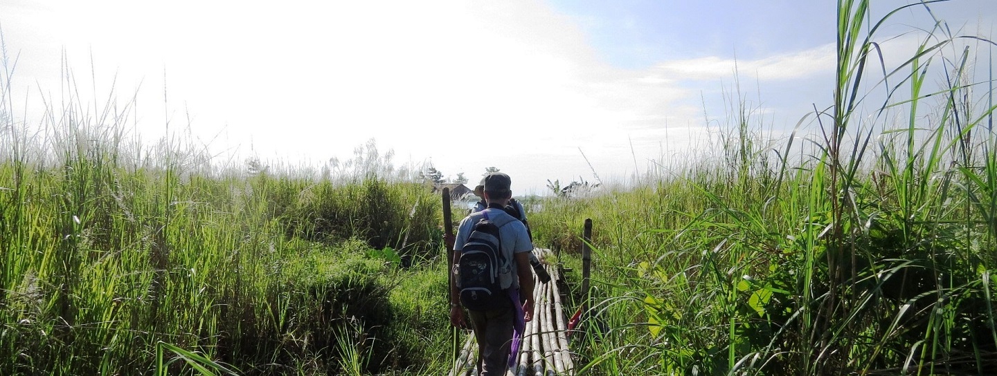
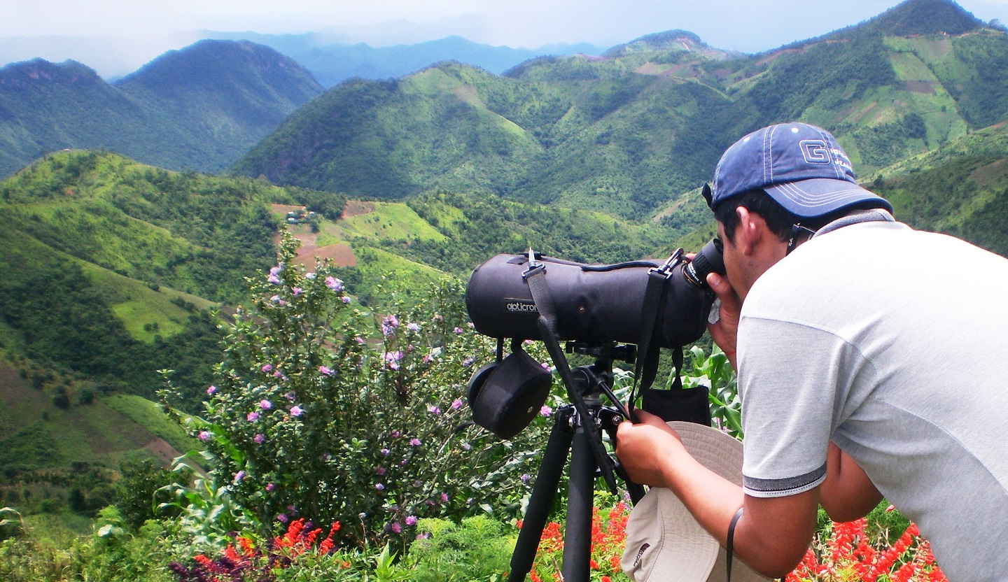
For birding, especially Gurney’s Pitta Expedition tour, first flight to Myeik then transfer to ChanugNaukPyan village by car, and then transfer to forest camp to see Gurney’s Pitta that found only in south Taninthayi, they prefer primary lowland flat forest below 150 meters, restricted to semi-evergreen rainforest, Sundiac level lowland forest and appears to be associated with secondary forest, the distribution of Peninsular Thailand, can get more opportunities to see some species such as: Gurney’s Pitta, Helmeted Hornbill, Beach Thick-knee, Green Broadbill and many more.
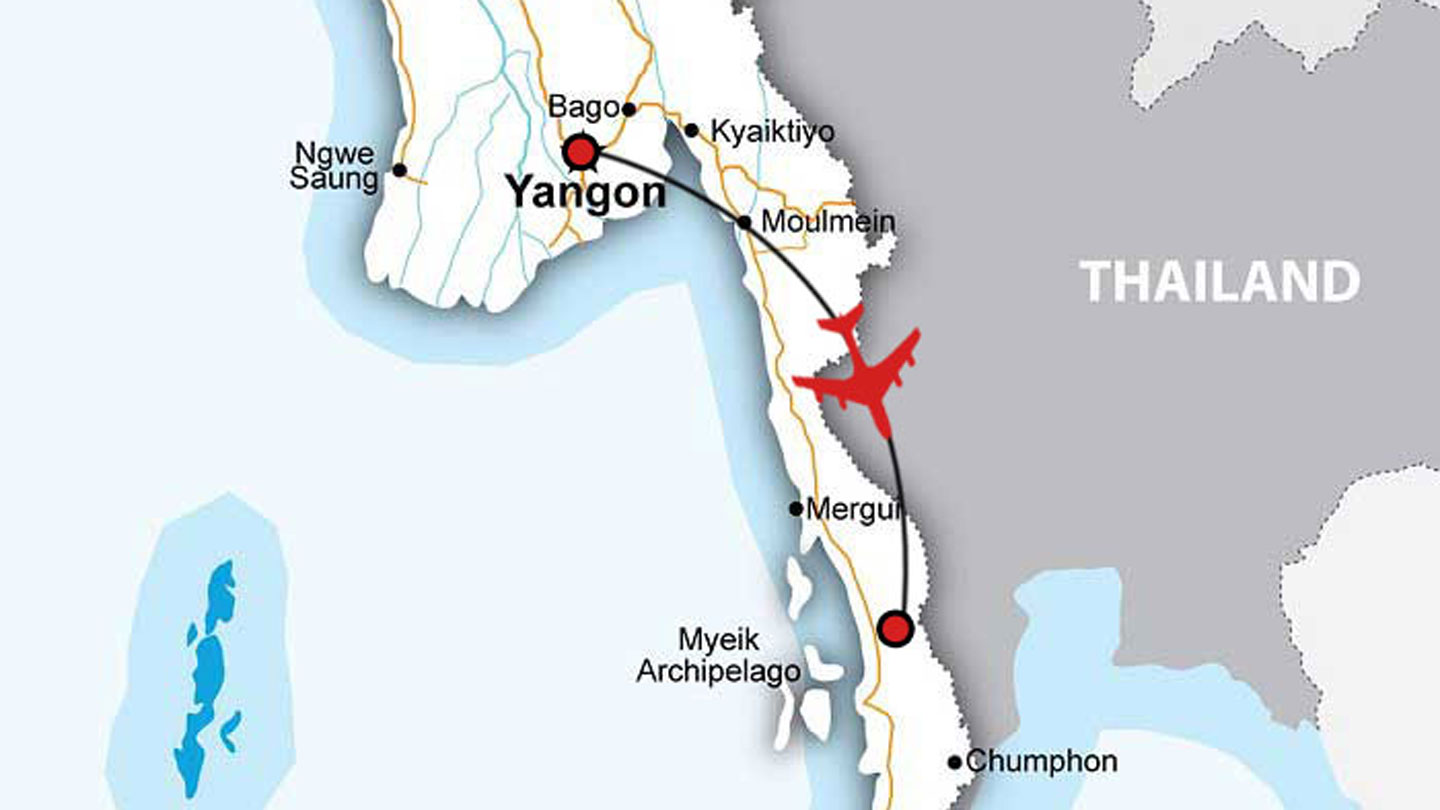
Route Map

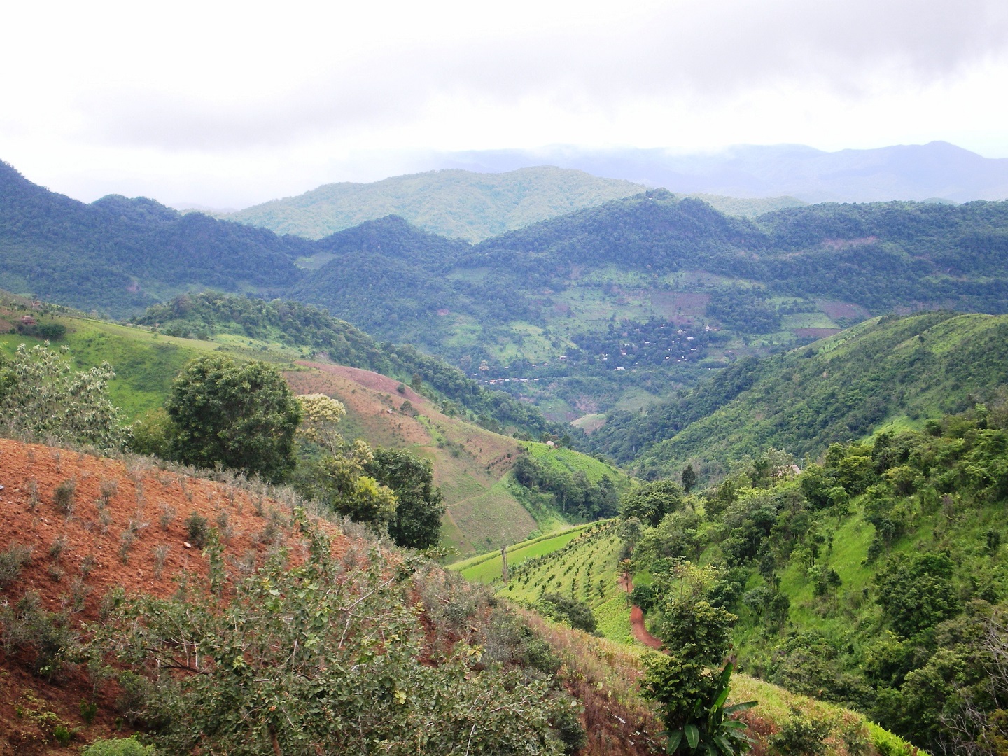
Birding at Myeik in Tanintharyi
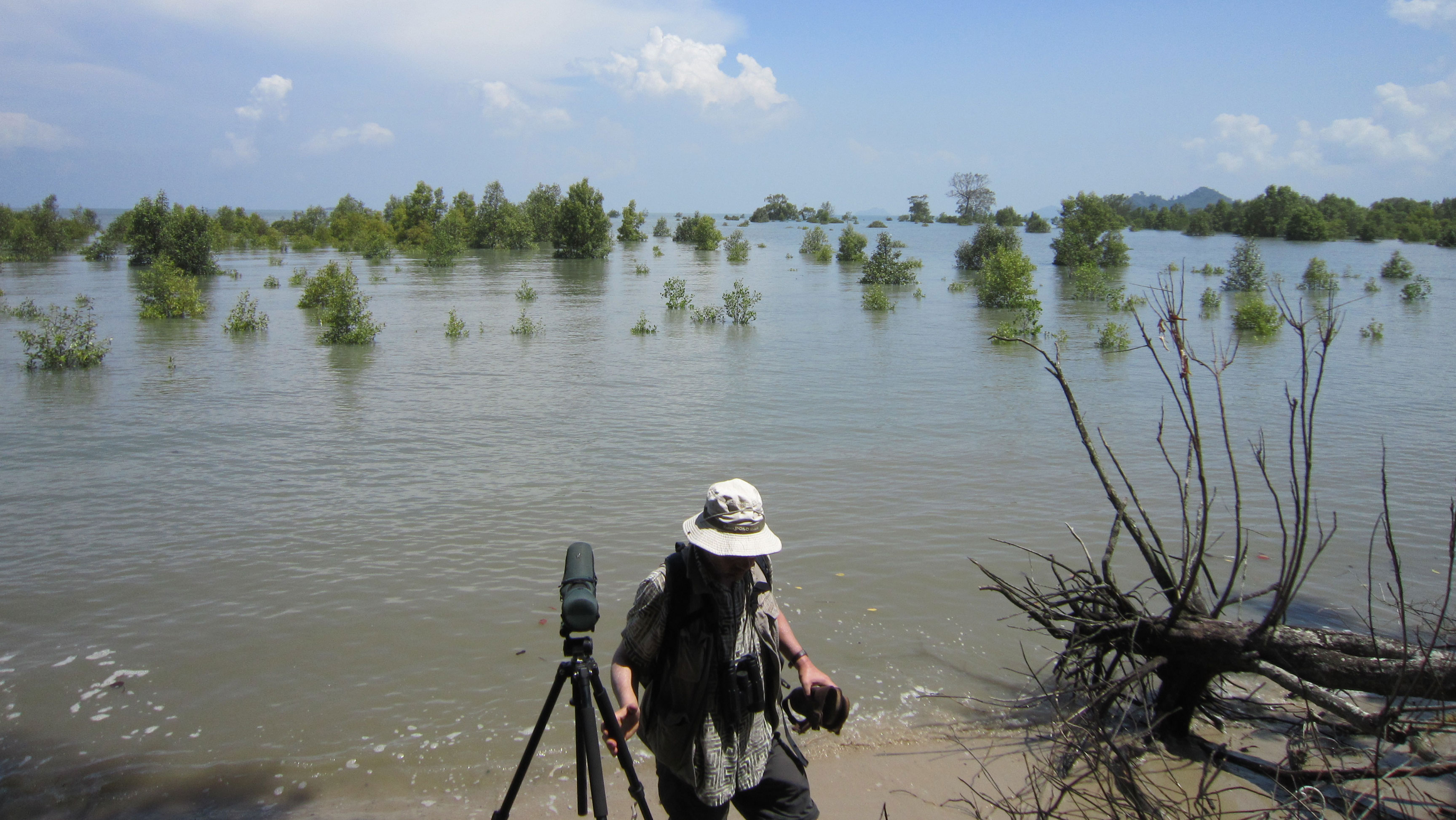
Birding at Myeik in Tanintharyi
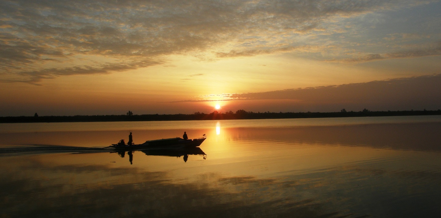
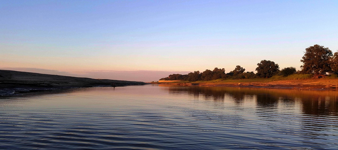
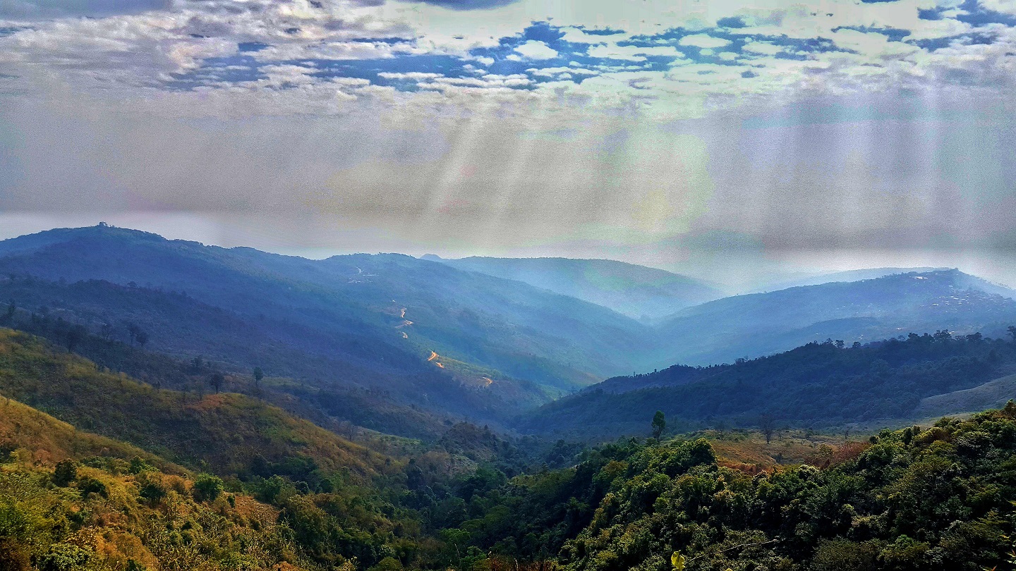
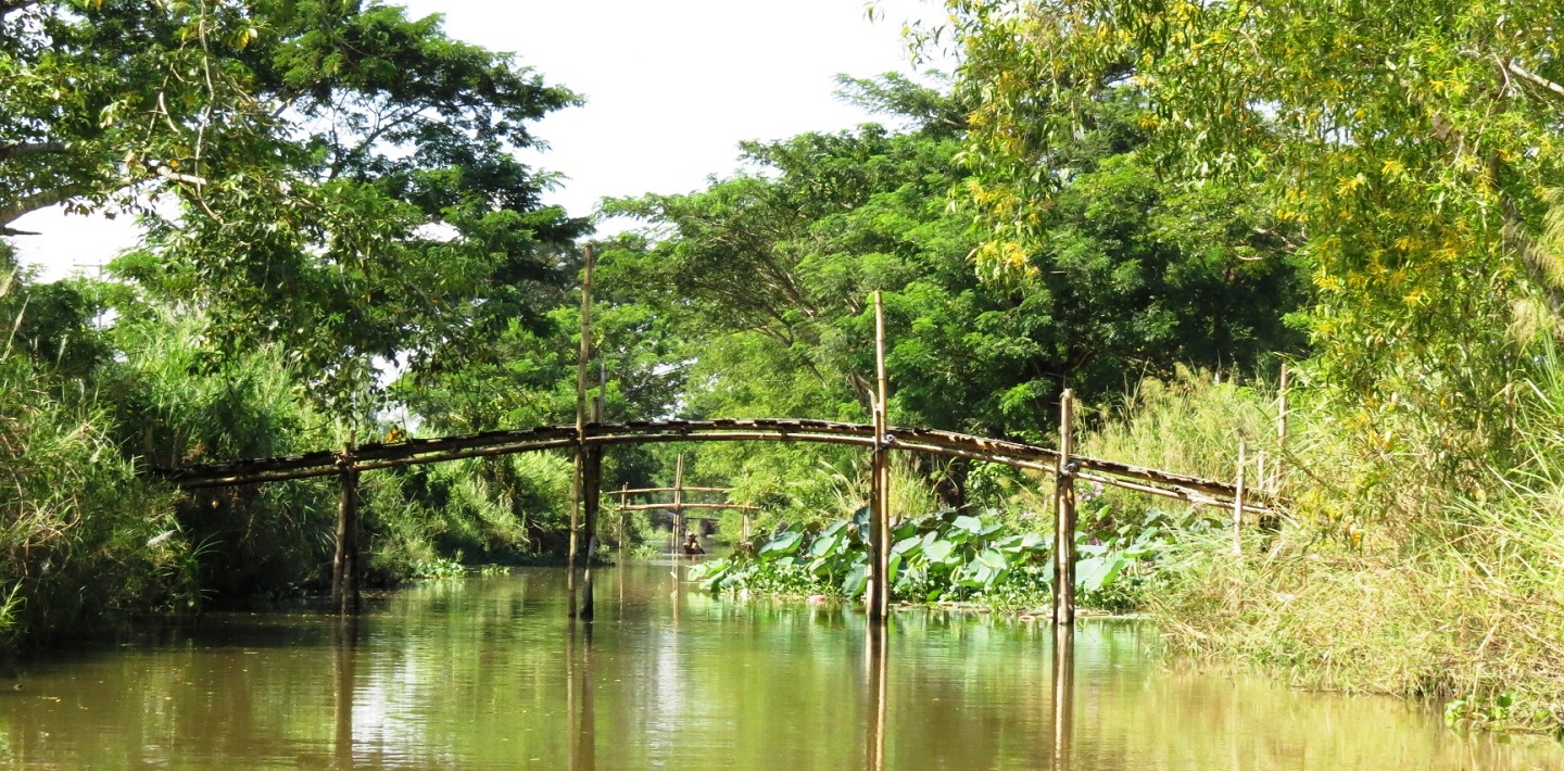
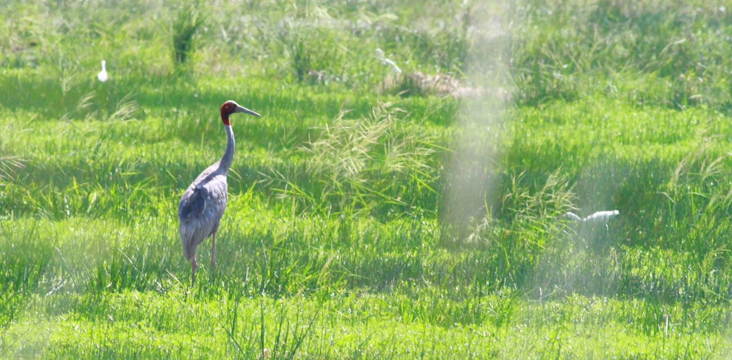
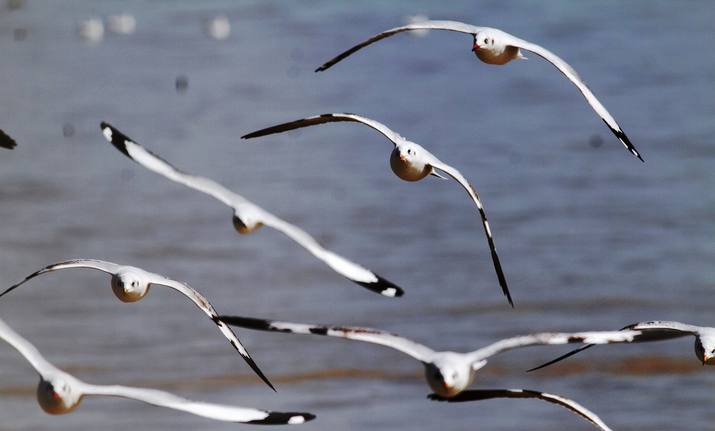
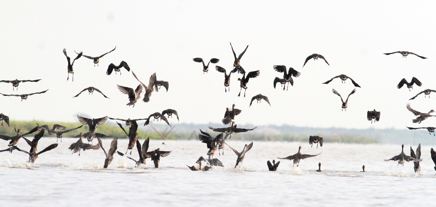
Photo Gallary