
Mingalarbar from Myanmar!
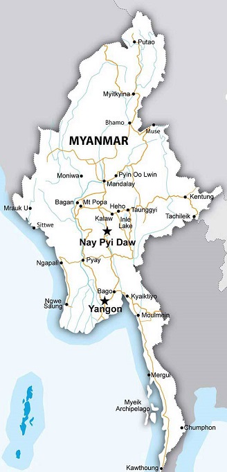
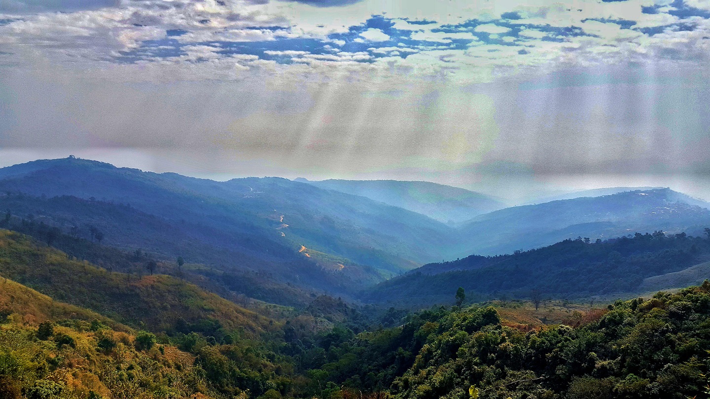
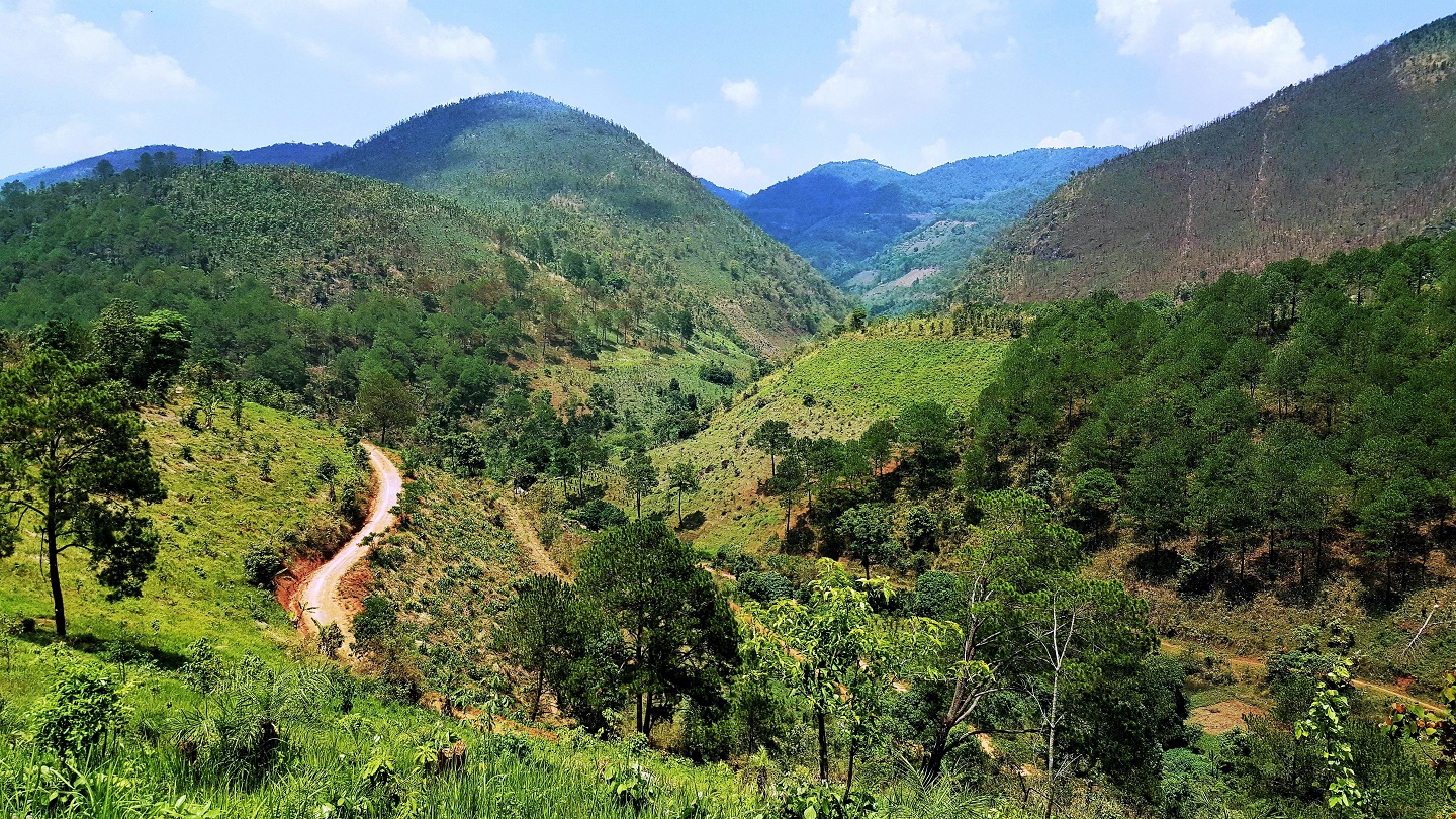
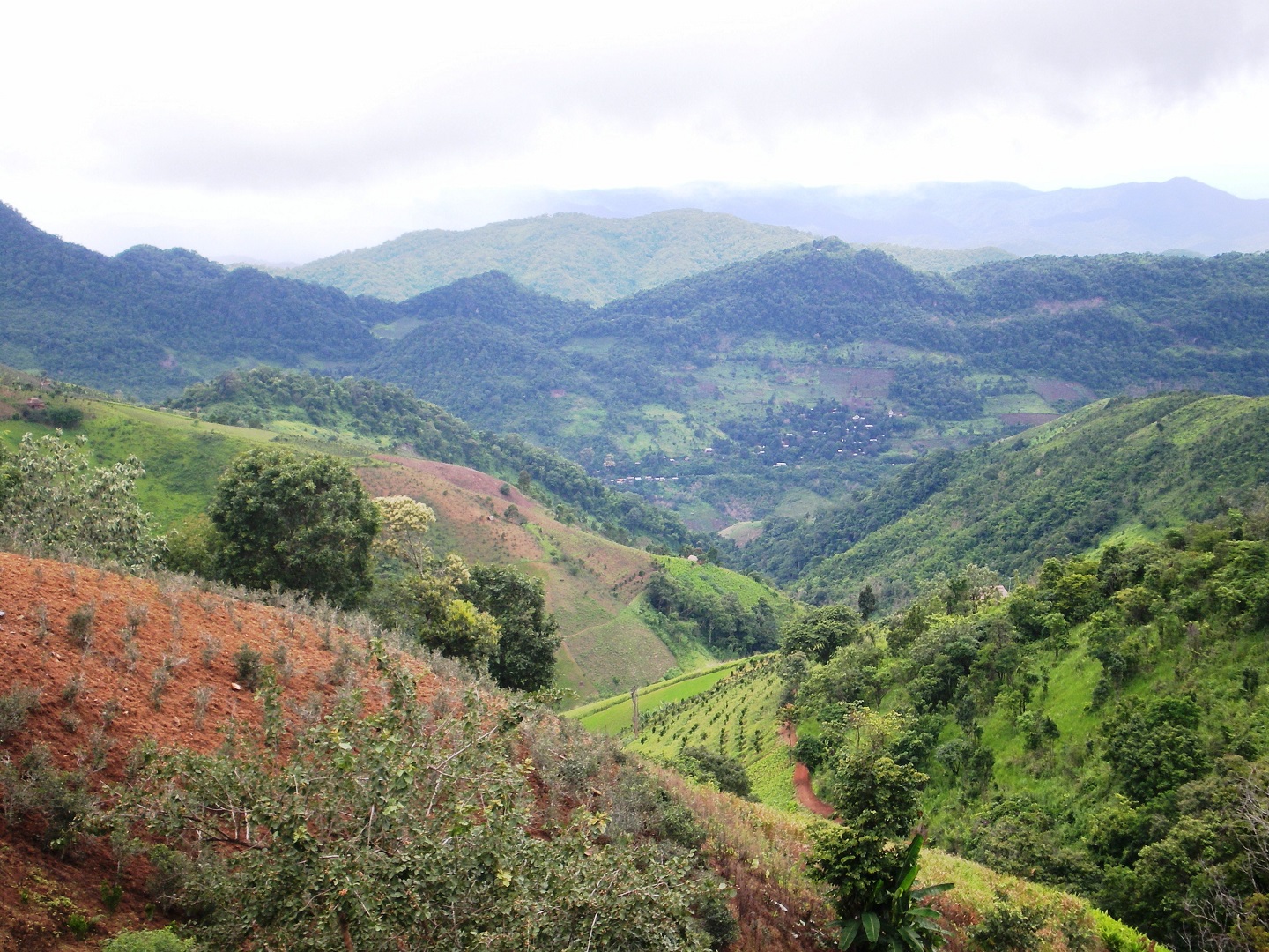
Myanmar is the largest country in mainland Southeast Asia with a land area of 676,577 km2, bordered by Bangladesh and India to the northwest, the People's Republic of China to the northeast and the Lao PDR and Thailand to the southeast. The Bay of Bengal and Andaman Sea lie to the south and west. More than 40% of Myanmar is mountainous. Prominent mountain ranges include an extension of the eastern Himalaya, the Chin Hills, the Western Plateau/Rakhine Yoma, Bago Yoma, the Eastern Plateau/Shan Plateau and the Taninthayi Range. The Ayeyawady, the Thanlwin (Salween), the Chindwin, the Sittaung and the Kaladan are Myanmar's major rivers. Myanmar comprised of 7 states and 7 regions. The population of Myanmar is estimated to be over 60 million. The main races are Kachin, Kayah, Kayin, Chin, Mon, Bamar, Rakhine and Shan. All together there are 135 different ethnic groups with their colourful costumes, customs, traditional arts and crafts. Most of them are Buddhist and also have other beliefs. There are three main seasons in Myanmar. Rainy season, cold season and hot season: the rainy season starts from June to October, the Cold season is from November to February and it is the perfect months for traveling and the hot season is from March to May. All the end of this season, the average monthly temperature reaches over 35℃ in many parts of Myanmar.


")


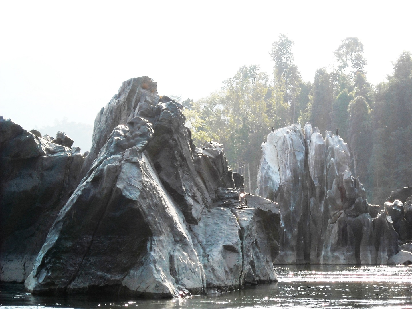
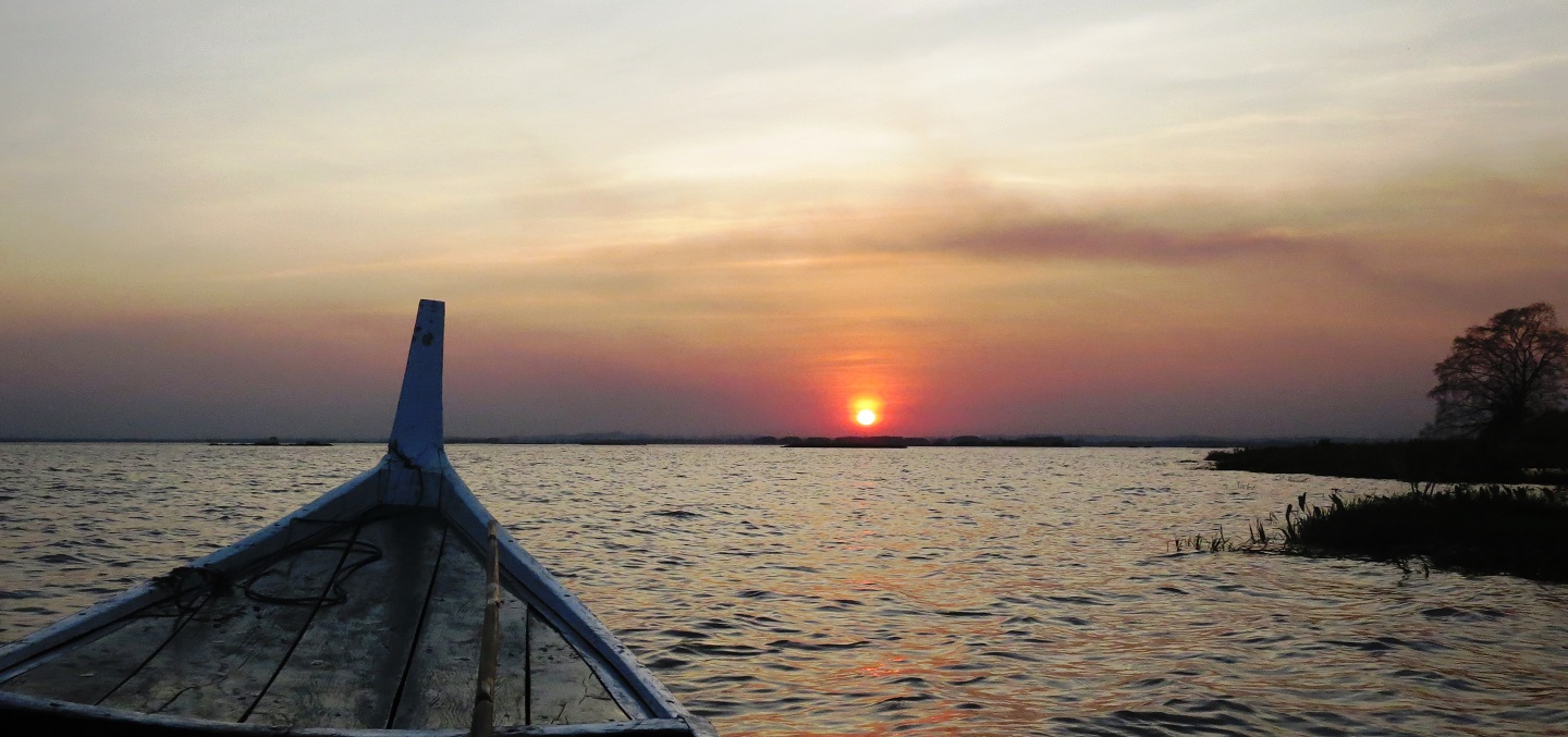
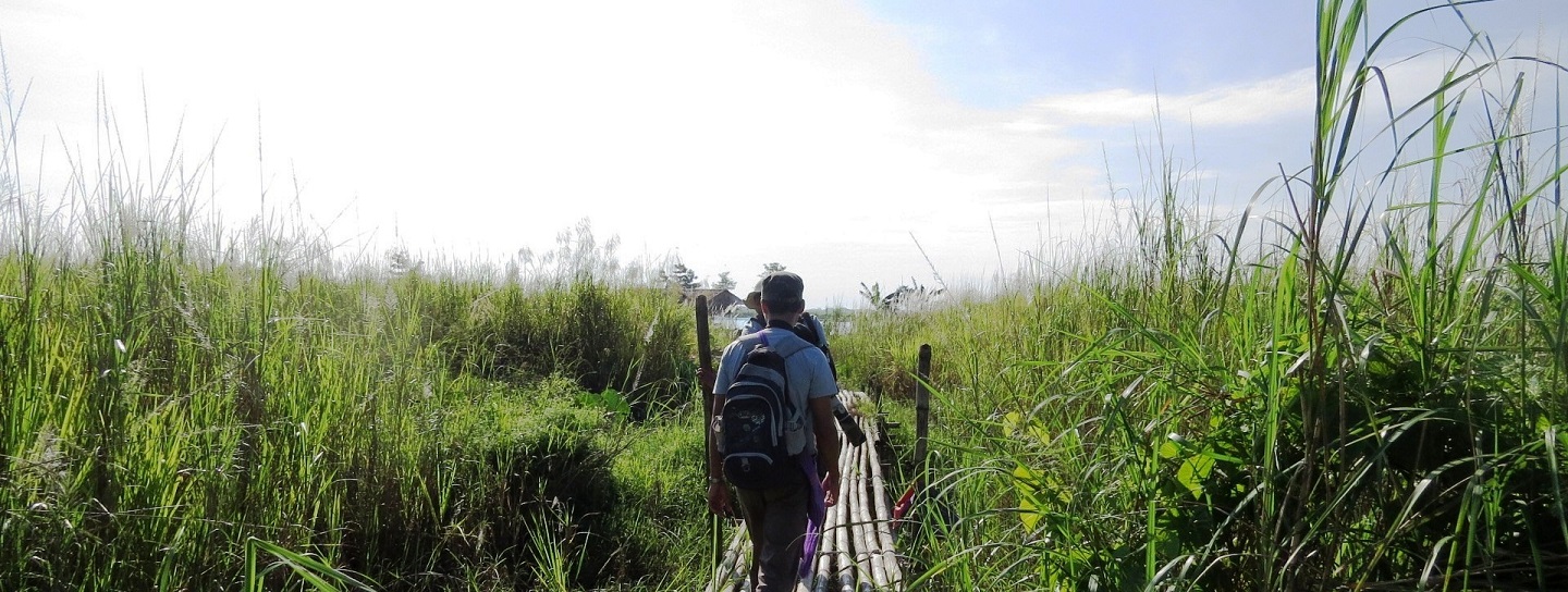
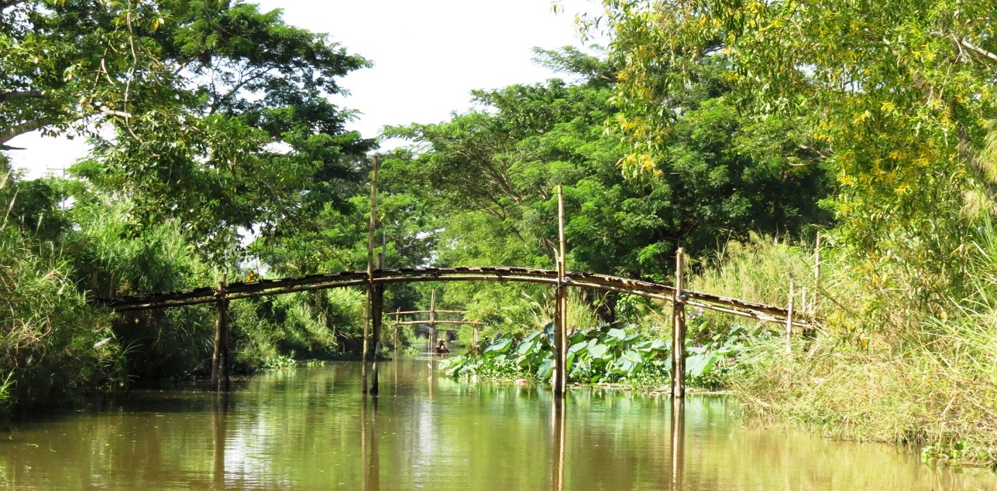
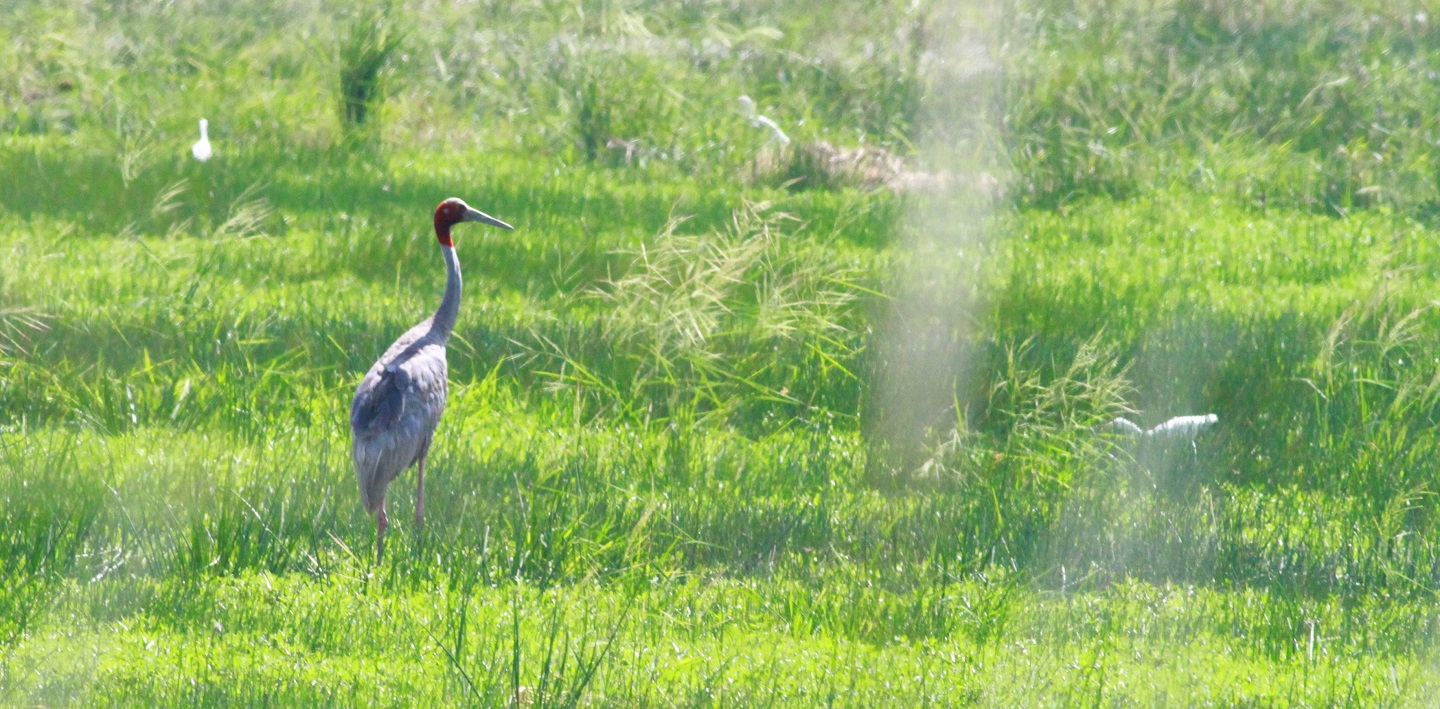
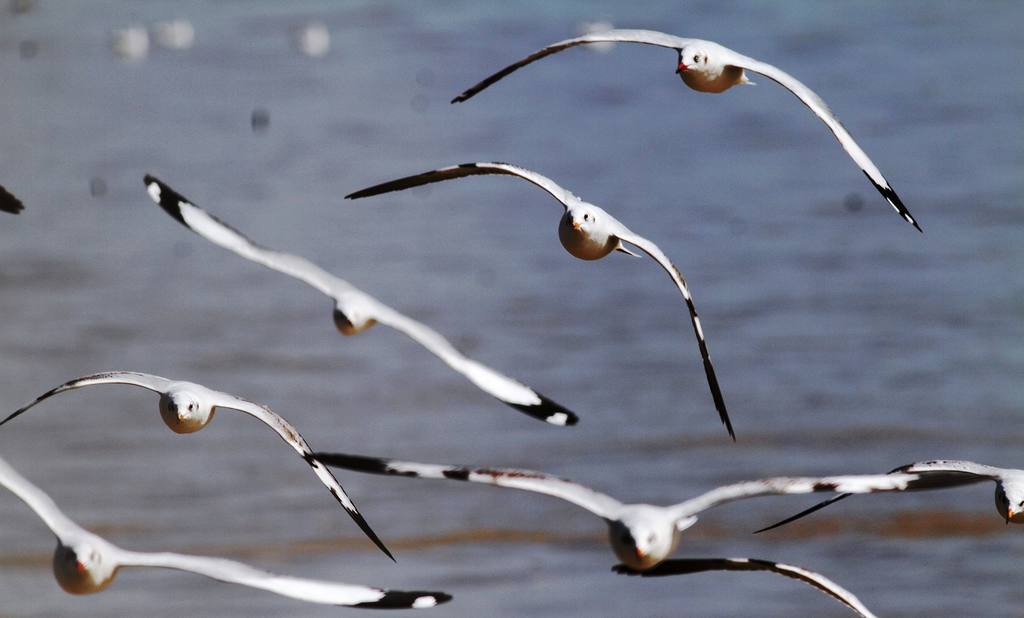
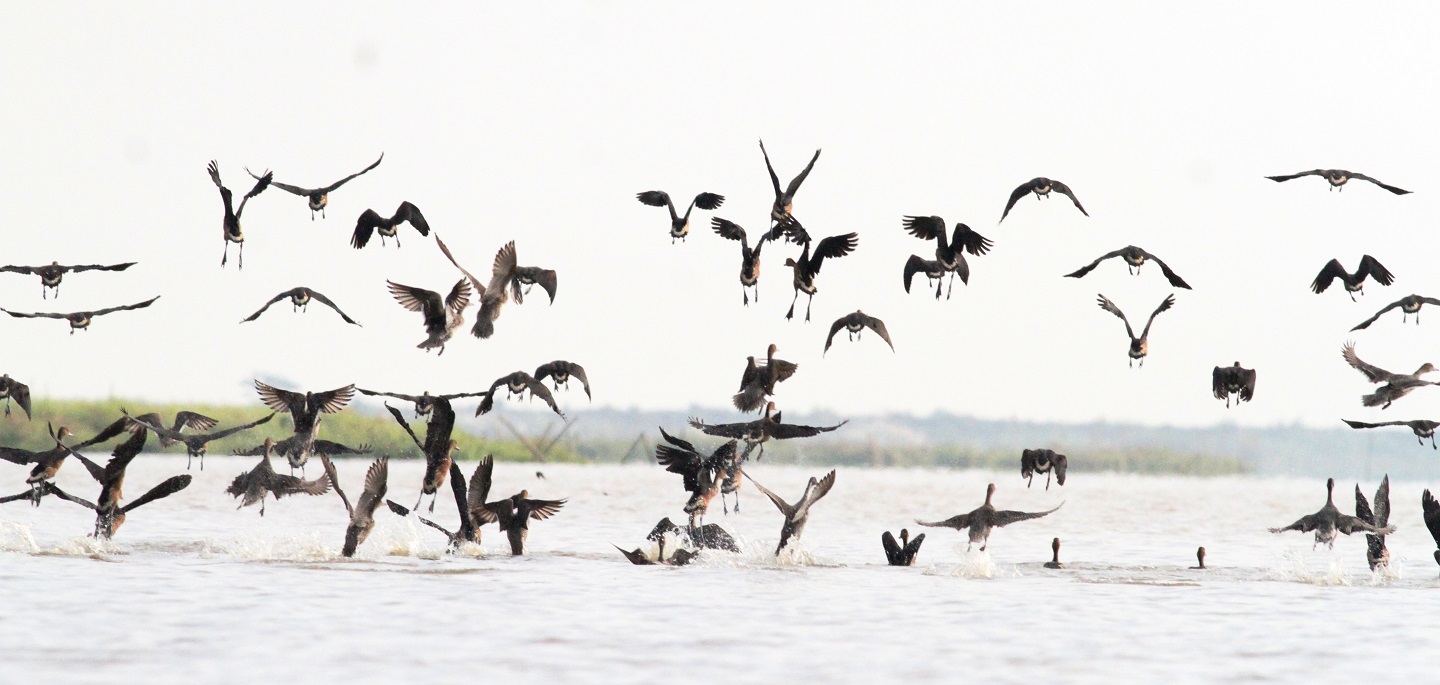
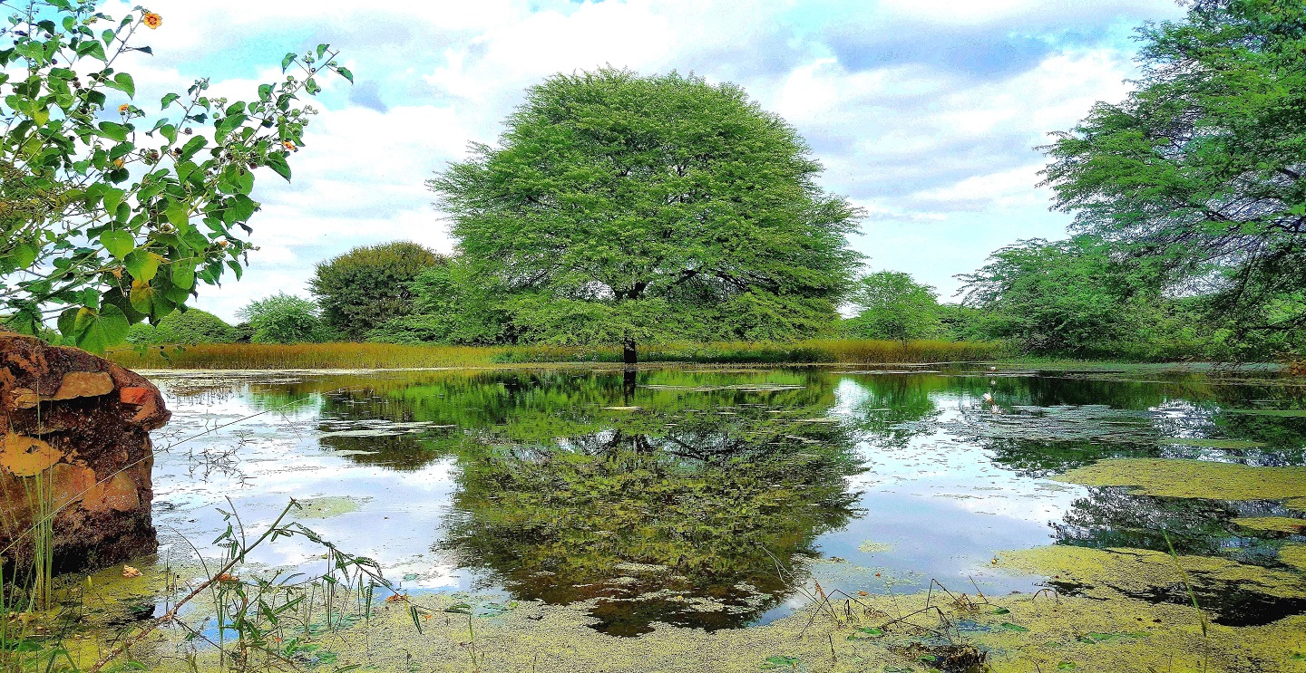
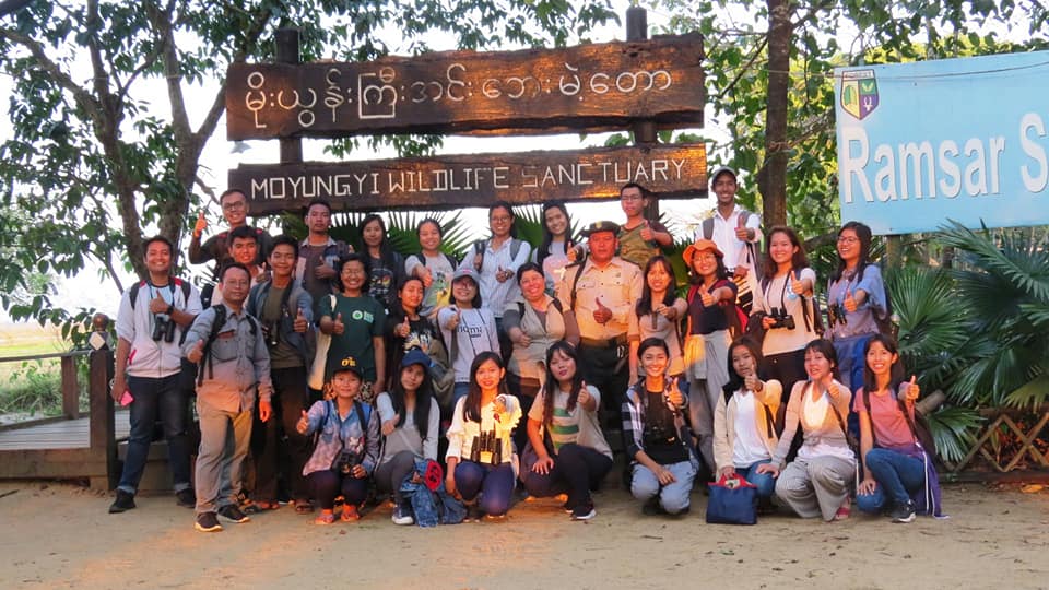
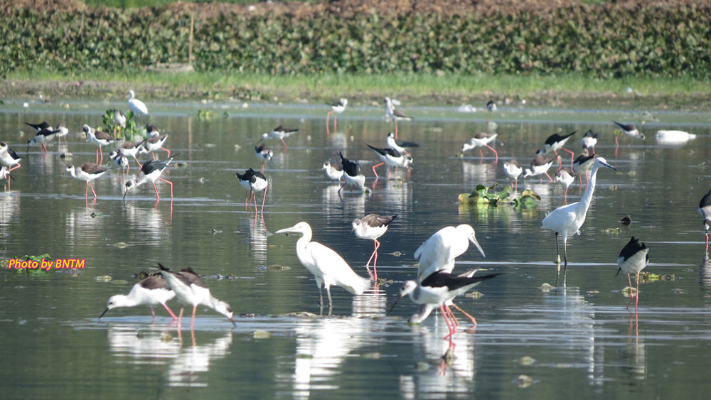
 (Second Ramsar Site in Myanmar)")
")